Sunday evening, July 1, I took a drive out to Anna Maria Island to visit Coquina Beach, Cortez Beach, Holmes Beach and Anna Maria. This was my first visit since the passage of tropical storm Debby and I was curious to see what the beaches looked like.
It was nearly 7 pm when I arrived and I expected to see very few people on the beach. What I found was an island full of people getting an early start on their 4th of July beach vacation.
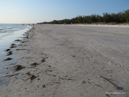
Coquina Beach, below, appears to have lost about 3 feet of elevation due to sand loss, but still has a lot more sand than it did when I was a young boy. You can see the rocks exposed along side of the concrete groins. Back in the 1960’s and 1970’s these rocks were in the water and we loved to snorkel around them. Lots of Sergeant major fish and Blennies and some Red Boring sponge on the rocks that we thought was coral.
At the south end of Coquina Beach I expected to find a narrow, rock-strewn beach. But as you can see (below), there is still plenty of beach.
The tip of Beer Can Island on northern Longboat Key appears to have taken a pretty good beating from the storm. All of the old dead Austrailian Pines got rearranged quite a bit.
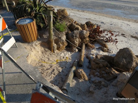
It was Cortez Beach (below) that shows the most dramatic erosion. All the rocks in the photo used to be completely covered by sand. The beach is looking a lot more like it looked back in the 1970’s. We thought it was just fine back then.
I used to surf here a lot, between the piers. On a high tide, the water came right up onto the rocks, so we had to use a leash for our surfboards or they might end up on the rocks.
Below: this is where a boardwalk across the dunes to the beach used to be.
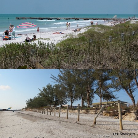
Below is a “before and after” photo of Cortez Beach. They were both taken within about 30 feet of each other, but at different angles. In the top photo, pay attention to the low posts in the sea oats, connected by rope. This is to keep people from trampling the sea oats. In the bottom photo, again pay attention to the tall posts connected by rope. They are the SAME posts pictured in the top photo. That’s how much sand and dunes were lost.
The beach is now lower in elevation, but still wide.
The piers continue to crumble more with each successive storm.
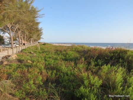
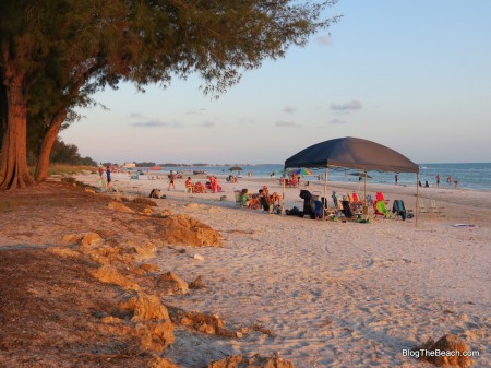
But, the above photos were of the worst sections of beach. Below photo is just a few hundred feet away.
Below: This photo was taken just south of the Manatee Public Beach.
Looking north at the July crowd at Manatee Public Beach.
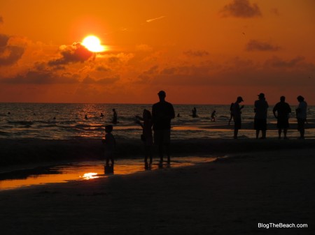
Below: The beach in Anna Maria at Magnolia Avenue. Everyone’s waiting for the sunset.
Playing on the beach in Anna Maria.

